
Protecting Fisheries on a Budget: Low-tech Solutions in Barbuda
Originally published on the (now archived) National Geographic blog.
Co-authored with Shah Selbe
December 10, 2013
Ayana: Over the past year I’ve spent a lot of time speaking with Caribbean governments and stakeholders about potential ways to restore and sustainably manage their oceans. I speak about how marine reserves increase the number and size of fish, and restore ecosystems. How protecting key herbivores (parrotfish, surgeonfish, and urchins) can reduce the algae that has overgrown many of the region’s reefs, allowing corals to recover. How a comprehensive zoning paired with appropriate fisheries regulations can re-build depleted reefs and fisheries. The response is usually something along the lines of: “Sounds great in theory, but how do we enforce it? We don’t need help making laws we can’t enforce.”
It certainly wouldn’t feel like an accomplishment to me or to the Waitt Institute if we helped to create a fancy plan to sustainably manage a country’s ocean resources, and then it collected dust. I’m allergic to dust. Luckily, about this time I met Shah Selbe, a crackerjack marine enforcement technologist and National Geographic Emerging Explorer.
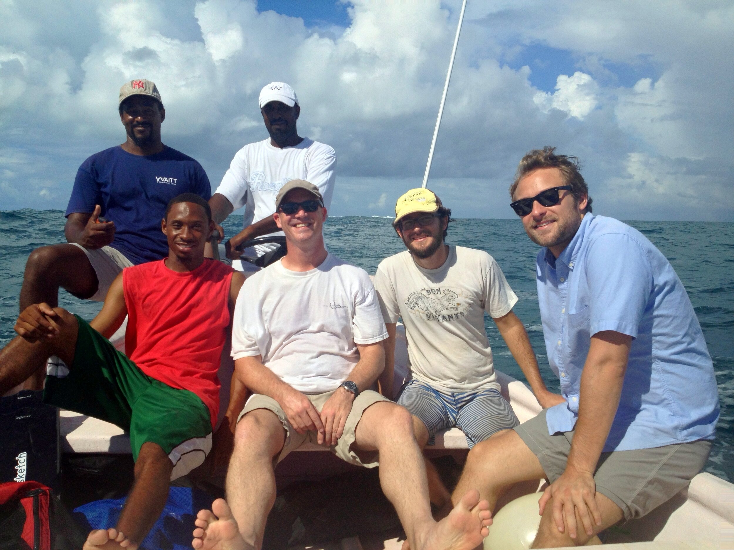
Folks from Barbuda Fisheries, Lagoon Park and SeaSketch with Shah Selbe (right). (Photo: Ayana)
Shah: I am an engineer and conservation technologist focused on identifying how technology can be used to monitor and protect our oceans. I work with passionate conservation organizations and fishing communities worldwide. The great work people are doing to set up marine sanctuaries and utilize zoning to restore our ocean ecosystems is inspiring.
However, once protected areas are established, they must be monitored and enforced. Unfortunately, the traditional enforcement methods we have always relied on are very resource-intensive and out of the reach of the communities that need them most. This is where our recent advances in technology can help. My work revolves around bringing low-cost technology solutions to coastal communities. I am collaborating with the Waitt Institute to identify how Barbudans can best protect the coastal waters around Barbuda.

Staff of Barbuda Park and Fisheries Divisions discussing enforcement options with Shah. (Photo: Ayana)
Ayana: Shah came down to Barbuda, where I am working with the fishermen, local government, and community to facilitate and enable the creation of a Sustainable Coastal Policy. We toured the island by land and sea, to figure out what the most promising enforcement approaches would be. This may seem like putting the cart before the horse, to develop an enforcement plan before the new laws and regulations are finalized, but we wanted to start discussing enforcement options with the government and community sooner than later. The “but how do we enforce it question?” certainly isn’t going away, and the need to be able to patrol the entirety of the coastal waters isn’t either.
So we used the draft coastal zoning plan as a guide and scoped out some options. We spent a week discussing and surveying with the insightful folks at Barbuda Fisheries and Codrington Lagoon Park. Knowing the island like the back of their hand, they have a lot of good ideas about what might work and what won’t. The local knowledge they shared about where there is no cell phone service, where illegal fishing is concentrated, and what roads are impassable certain times of the year are valuable for developing an enforcement plan.
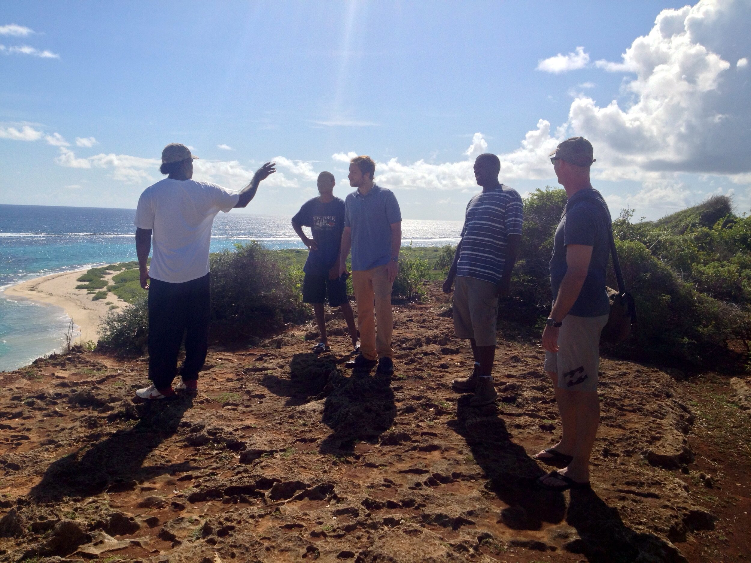
Atop the cliff at Two Foot Bay, Barbuda, discussing placement of a lookout tower. (Photo: Ayana)
Shah: Barbuda is optimal for low-cost, low-tech monitoring and enforcement because the zoning and management would apply only to the coastal waters within 1 league (3.45-miles) of shore. The proximity to shore of the potential management areas eliminates the need for expensive long-range boats and surveillance technologies. The current draft of the zoning plan includes creating five marine sanctuaries (permanently closed to all fishing) that would cover 1/3 of the coastal waters.
In discussions of the placement of sanctuaries, fishers’ concerns about enforcement led to consideration of how sanctuary boundaries could be designed to maximize ease of both compliance and enforceability. Fishers have been thinking of enforcement from the start, so we are listening to their ideas and spatial priorities and will incorporate those into the final enforcement recommendations.
My initial recommendations are: (1) operate boat patrols out of two bases (one in the lagoon and one at the Southern end of the island), (2) install marker buoys around reserve boundaries (with buoys more closely spaced in the more intricately shaped zones). (3) create two or three shore-based lookouts to monitor the sanctuaries furthest from patrol boat bases, and (4) establish a community SMS-based tip line to allow concerned citizens and fishermen to report any wrongdoings to officials. (The full Enforcement Recommendations Report is available on the Barbuda Blue Halo website.)

Map of proposed zones in Barbuda, with Shah’s enforcement recommendations: potential patrol boat bases and routes (red dots and orange lines), lookout towers (yellow squares) and viewsheds (pale orange half circles).
Ayana: Even though these recommendations are preliminary and based on draft coastal zoning and fisheries regulations, many of the elements will apply no matter what the final version looks like. Patrols will still need to be able to cover the entire island. Buoys will need to delineate the marine reserve boundaries, especially near more heavily fished areas.
The participation of fishers in designing the zones is of primary importance – their detailed local knowledge of coastal landmarks and navigation was the key factor in placement of sanctuary boundaries. Hopefully, this will maximize compliance by minimizing any confusion when out fishing about whether the boat is in or out of a zone. Fishers accidentally impinging upon areas close to fishing can lead to diversion of enforcement capacity from other needs and foster ill will – both highly undesirable.

Barbuda Park and Fisheries staff identifying coastal landmarks delineating boundaries of proposed sanctuary zones. (Photo: Ayana)
Shah: While there are some flashy technologies (like drones and satellite imagery) that could be used to support this plan, Barbuda is a great example of how some simple solutions can be just as effective. The recommendations above are not final, but they provide a means for approaching the enforcement challenge in a modular way.
Solutions recommended for Barbuda have been identified based on the budget constraints and can be scaled up accordingly as additional funds become available or implemented in modules based on the needs of the community. All this is outlined in the Enforcement Recommendations Report posted on the Initiative’s website. Please post a comment below if you have an idea for how to improve upon these recommendations.
Ayana: So, in a sense we have an enforcement plan before we have a plan to enforce, but it can’t hurt to start brainstorming sooner than later. Enforcement is critical to the success of these zones. Without enforcement, the zoning plans are just paper, just trees that could have been put to better use.

Coco Point dock, potential future patrol boat base. (Photo: Ayana)